Ontdek TNO
Impactvolle innovaties creëren voor duurzaam welzijn en welvaart van de samenleving.
Volg de laatste ontwikkelingen
1072 resultaten, getoond 1 t/m 5
Thuiswerkers wonen kwartier verder van werk
Uit recente gegevens van de Nationale Enquête Arbeidsomstandigheden (NEA) van TNO en het CBS blijkt dat thuiswerkers gemiddeld een kwartier langer onderweg zijn naar hun werk dan werknemers die niet thuiswerken.

World Hydrogen Summit 2024
Hergebruik van afvalhout door integrale ketensamenwerking

Biobased prefab gevels: sein op groen
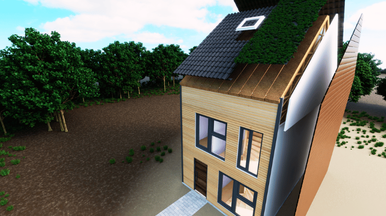
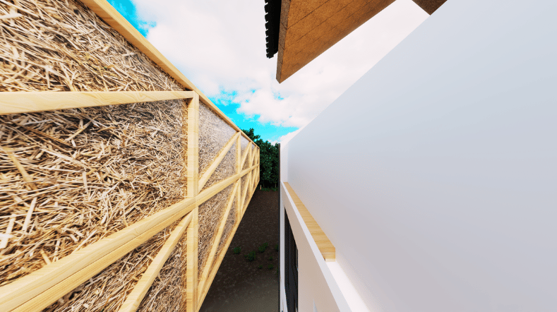
Van land tot wand: Stro, bouwmateriaal van de toekomst?
Vrijblijvend sparren over jouw uitdaging?