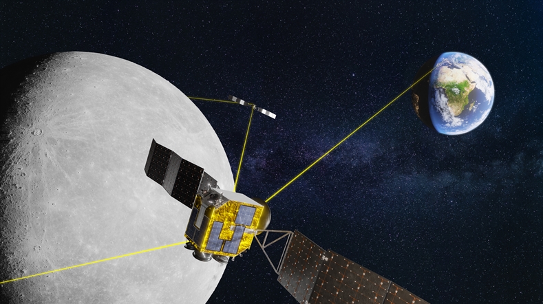
Earth observation: monitoring our planet
Earth Observation is the use of satellite instruments to image our planet. TNO has a long legacy in developing instruments that monitor our planet’s atmosphere and allow us to mitigate the harmful impact of greenhouse gases and air pollution. In addition to this, we work on systems that monitor land and water and the calibration of a wider range of optical satellite instruments.
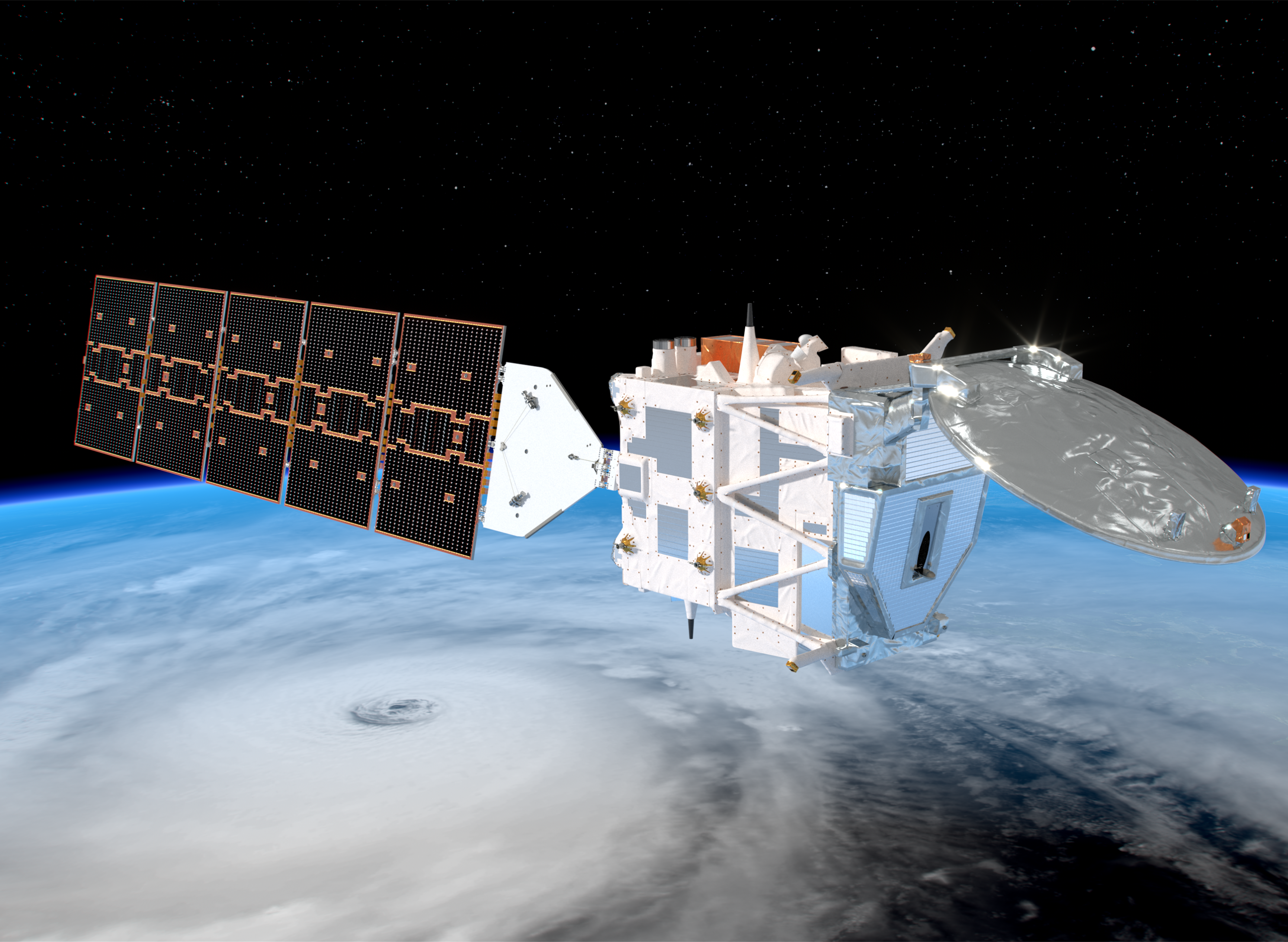
EarthCARE: analysing clouds and aerosols in reflecting solar radiation

TROPOMI: measuring climate and air pollution
TANGO satellite: monitoring greenhouse gas emissions
Clear Air consortium drives climate action and economic growth
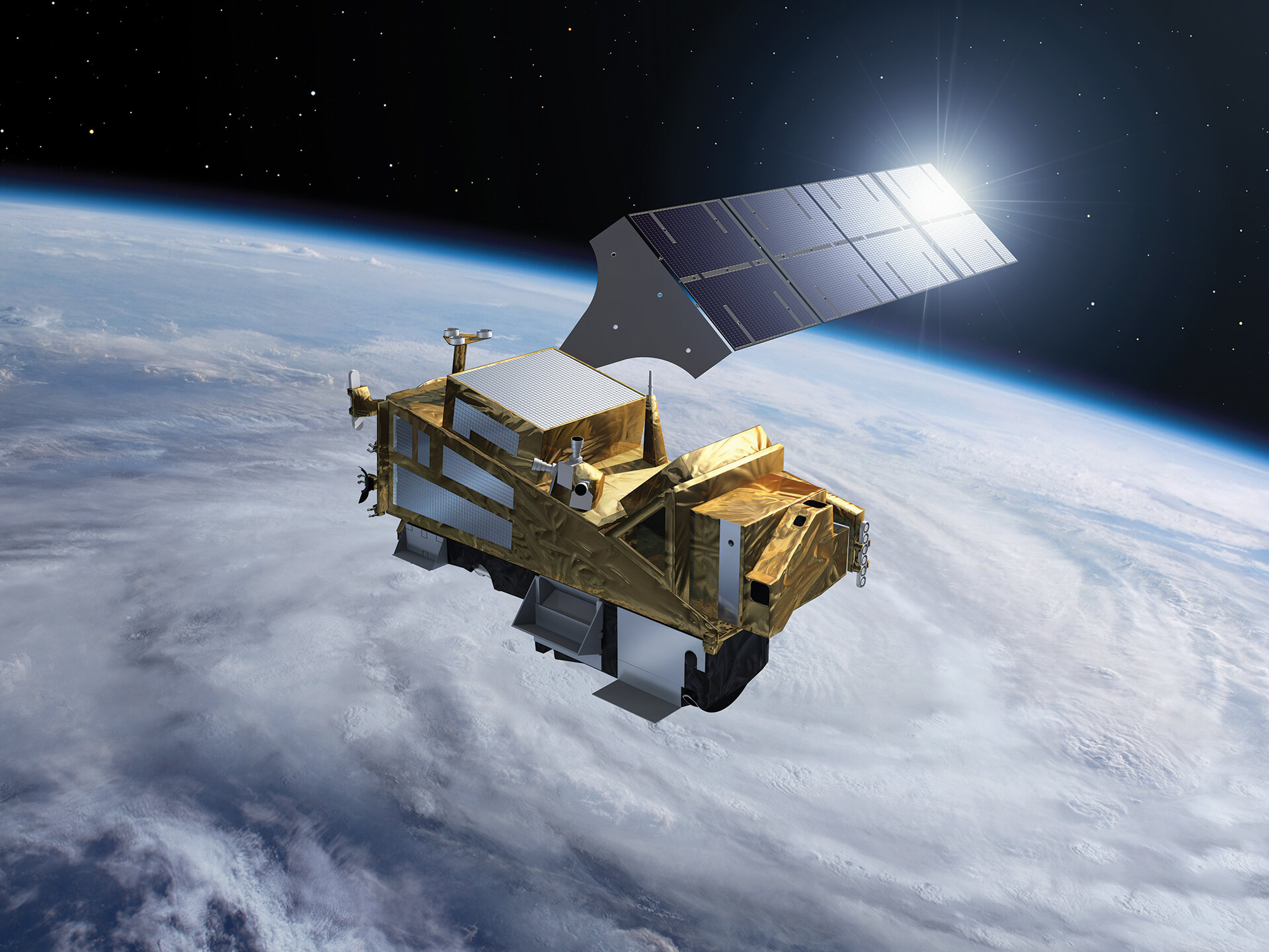
TNO’s contribution to Sentinel-5
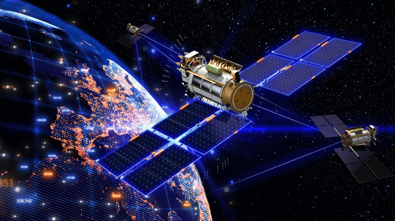
Small satellites
TNO is developing technology for use in small satellites (SmallSats) that can offer tangible solutions to societal problems. Here, we are focusing on small, affordable earth observation instruments that are capable of making independent daily measurements of air pollution and greenhouse gas emissions throughout the world. We are also working on technology for radar and satellite communication.
TNO has more than 35 years of experience in designing and manufacturing earth observation instruments. Due to the miniaturization of this technology, it is now possible to make satellites and Earth observation instruments smaller and cheaper, and to speed up their production. Lower costs and faster time-to-market have brought the development of satellites within the reach of new players, such as national governments, companies, and non-governmental organizations. This offers them new opportunities and access to unique data. The advent of SmallSats has brought new mission concepts within reach. For instance, SmallSats can be flown in constellations, enabling them to provide better coverage of the Earth’s surface than a single large satellite could. In addition, the pace of innovation can be accelerated by bringing forward technology demonstrations in space, as TNO has shown with the PEASSS satellite.
The Royal Netherlands Meteorological Institute (KNMI) and Delft University of Technology successfully tested TNO’s Spectrolite instrument during a test flight over Berlin. This involved tasks such as measuring power-plant emission plumes.
TNO is working on the development of several families of Earth observation instruments (<10 kg):
- Spectrolite: an instrument for measuring air pollution (for example, NO2, SO2) and greenhouse gases (for example, CH4 and CO2), based on technology used in the ground-breaking TROPOMI satellite instrument
- HIGS: one of the latest generation of instruments, HIGS uses even more compact technology to measure air pollution and greenhouse gases. It is also capable of immediately creating two-dimensional images of this pollution (‘imaging’)
- HIRIS: an instrument for measuring water pollution with high precision, for scientific and commercial purposes.
Each of these instrument families is designed to be easily adapted for different applications, such as measuring various types of gases, and with a range of ground resolutions. This avoids the need for relatively expensive, one-off development processes for each individual application. Its expertise in satellite data applications enables TNO to design integrated applications, from information product to physical instrument.
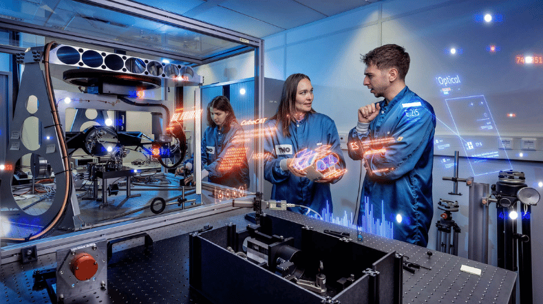
Satellite communication is one of the largest markets in the aerospace sector. Optical communication is a technology with enormous potential, in terms of making broadband communication available in the future. TNO is one of the leading players in the development of satellite communication systems. We are developing the CubeCat satellite terminal especially for the SmallSat market, in cooperation with Hyperion Technologies.
TNO is also working on the development of radio frequency (RF) communication systems for SmallSats.
The use of SmallSats in an Earth observation role offers governments and companies an opportunity to collect new data. We want to reach out to potential partners, to understand their data requirements, and to explore ways of harnessing our expertise and technology to meet these needs. In this context, we can offer an integrated approach to instrument development and data processing.
Satellite data utilisation
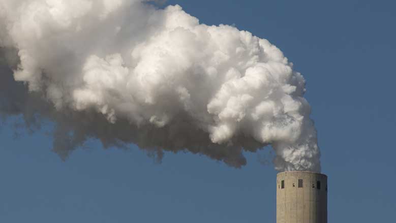
Satellite data utilisation is essential to unlocking the value of earth observation (EO). TNO develops innovative space data utilisation systems that provide people, governments and industry with a clear picture of air pollution and greenhouse gas emissions while supporting reduction measures. Additionally, TNO offers a wide range of satellite data applications based on the domain knowledge in various areas of the organisation.
TNO develops space-based atmospheric monitoring solutions that provide policymakers and industry stakeholders with actionable information for emission reductions. Satellite data have a high added value because they provide global, independent measurements at frequent intervals (typically daily). Moreover, they provide data in areas where in situ measurements are not available. We do this for all relevant greenhouse gases (e.g. CO2 and CH4) and air pollution species (e.g. NO2, aerosols). TNO takes a multi-level approach to atmospheric monitoring by combining:
- Satellite data that provides large spatial coverage (e.g. TROPOMI, MODIS, IASI)
- The LOTOS EUROS atmospheric transport and chemistry model, which predicts pollution ahead of time in locations where data is not available
- In situ measurements used for emission inventories of known pollution sources.
We do this on the basis of more than 40 years of experience in advising the Dutch government and the European Commission (such as the ECCO2 Monitoring Task Force and EU standardisation work on particulate matter).
TNO’s capabilities allow for the monitoring for all relevant greenhouse gases (e.g. CH4 and CO2) and air pollution (e.g. NO2, NH3 and aerosols). We develop solutions which can be transferred to our partners in governments and industry for operational or commercial use.
Examples of TNO applications include:
- Air quality monitoring for urban areas using LOTOS-EUROS and data from the TROPOMI satellite instrument (S&T, Airbus Netherlands Defence & Space)
- Monitoring methane emissions from the oil and gas and coal mining industries using TROPOMI data with partners (SRON, VU, EDF, Shell, Airbus Netherlands Defence & Space) within the GALES consortium
- Source apportionment system TOPAS, which allows for the attribution of pollution to sectors (e.g. transport, agriculture, industry) and geographical locations (e.g. city, state, country)
- Monitoring ammonia (NH3) emissions at a federal level for a large EU country
- Dust storm predictions as part of a Sand and Dust Storm Warning Advisory and Assessment System (SDS-WAS) for the World Meteorological Organization (WMO)
- TNO develops national scale greenhouses gas emission inventories for CoCO2, the pan-European effort to build a prototype system for the global monitoring and verification of carbon dioxide (CO2) emissions in order to support the Paris agreement
Earth observation data is a valuable asset for many social challenges and in the realisation of businesses and economic growth. As a multi-disciplinary organisation, TNO is in a unique position to develop earth observation solutions by leveraging domain knowledge in many different areas, such as buildings, infrastructure, maritime, defence, energy, health and traffic and transport.
Some examples include:
- The use of Earth Observation radar (InSAR) data for monitoring geothermal energy, gas storage or hydrocarbon production
- Combining large Earth Observation datasets in order to optimise the location and operation of microgrids.
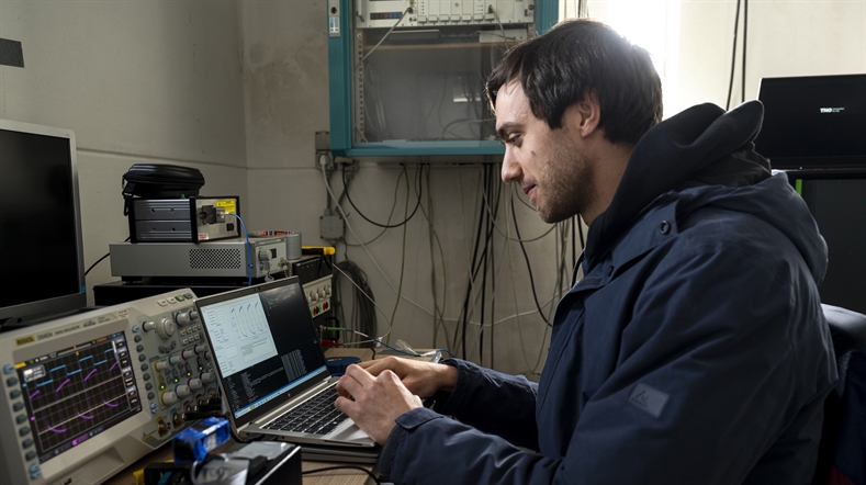
Space instrument calibration
Calibration is an essential part of a space instrument. Without calibration the data from the instrument cannot be interpreted and science is not possible. TNO has a leading position in providing calibration technologies for earth observation instruments. These technologies involve onboard calibration hardware for space instruments as well as on-ground calibration of components (MERIS diffusers) or complete instruments (SCIAMACHY, OMI, GOME-2).
As space instrument designs can be different so is the calibration. That means that in many cases a dedicated stimulus must be designed and built. For the on-ground calibration of a space instrument TNO has developed several optical stimuli to be able to acquire complete knowledge of the instrument behavior. Main aspects that are calibrated are:
- Radiometric, using calibration standards (NIST) and special sources (sun simulator)
- Polarization, using a low radiance stimulator
- Wavelength calibration, using spectral line source(s) and lasers
- Slit-function, using a dedicated stimulus
- Stray-light, using monochromatic sources
- Field of view, using narrow field sources (star stimulus)
Many of the instrument characteristics depend on the environment in which the instrument is operated. In case of space instruments this means in vacuum, within a certain temperature range and at zero gravity. Calibration is performed in a dedicated Thermal Vacuum Chamber at the Van Leeuwenhoek Laboratory of TNO in Delft.
GOME-2 was one of the most extended calibration campaigns within TNO. The measurements took more than five months. Within this period the instrument was calibrated at three different optical bench temperatures and two different detector temperatures. Special effort was put into the radiometric calibration and the slit-function characterization.
For the radiometric calibration NASA and NPL were invited to calibrate their sources alongside of the TNO sources. The slit-function was measured using a dedicated source, which enabled a characterization at sub-pixel level. This was a large improvement over the previous method were only a few points of the slit-function where measured.
This improved slit-function knowledge is a major improvement for the retrieval of science products. TNO also collaborated with the scientist of the University of Bremen for a three week measurement campaign with their Cat-Gas set-up. With this set-up the instrument 'looked' at a controlled atmospheric condition to characterize instrument behavior for different atmospheric compositions. These measurements will be used for retrieval algorithms.
Diffusers are at the heart of the radiometric calibration of the instrument. In orbit, the instrument uses the diffuser to look at the sun to acquire the sun irradiance for absolute calibration. The accuracy of the calibration is predominantly determined by the accuracy of the diffuser characterization.
During on-ground calibration of the SCIAMACHY instrument, an unexpected noise like feature was superimposed on the spectrum when using the diffuser. These so called 'spectral features' were caused by a speckle phenomenon in the entrance slit of the spectrometer. An extra diffuser was implemented in the instrument which could be rotated with respect to the sun to average out the features.
TNO has developed a new type of diffuser called the Quasi Volume Diffuser (QVD), which produces smaller speckles and has a better scattering performance. This type of diffuser is implemented in the OMI and GOME-2 instruments. TNO has also developed a model to predict the feature behavior of a diffuser design and is currently looking at even more advanced diffuser designs.
Join us and start a career at TNO
Contact us
-

Anton Leemhuis
Functie:Director Earth observationContact me to partner with TNO on satellite instrumentation and data technology for global and independent monitoring and reduction of greenhouse gases and air pollution.
I connect governments and industries with our Earth Observation (EO) teams and open new global markets for TNO’s EO innovations.
-
Standplaats:Delft - Stieltjesweg
-
Email:Email Anton
-
LinkedIn:Anton on LinkedIn
-
Get inspired
This is our time: Industrialising TNO's optical satellite communication technology

This is our time: working on breakthroughs in laser satellite communication
Making the Netherlands indispensable in laser satellite communication
Successful Ground Test Shows Potential for Satellite Identification
TNO & partners bring deep-space communication a step closer