Air quality management using satellite data
Air pollution causes millions of premature deaths every year and increases illness amongst the population. Climate change threatens food production, causes sea levels to rise and shifts weather patterns on a global scale. Can satellite data help decreasing air pollution and greenhouse gas emissions? This is the central question during this TNO webinar.
We will discuss how you can effectively reduce pollution levels and emissions in your country using satellite data and TNO’s LOTOS-EUROS prediction model, which will allow you to identify emission sources and understand the sectors that are responsible for them. This process empowers the user to start taking action.
The main topics that are discussed:
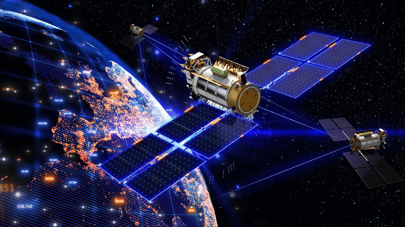
- Air quality management: monitoring and reducing air pollution and greenhouse gas emissions using satellite data.
- The TROPOMI satellite instrument on board the Sentinel 5p mission: how does it work?
- The LOTOS-EUROS (open source) air pollution model explained.
- How can this be applied in your region?
Reducing air pollution and greenhouse gas emissions
Contact us
-

Ton Maree
Functie:Senior Business Developer, Space & Scientific InstrumentationContact me to connect with TNO and solve your challenges in Earth Observation (EO) and Space-Based Astronomy instruments. I work with governments and industries to open up new global markets for TNO’s Space innovations.
I also manage the R&D investment portfolio for Space-Based Astronomy technologies, like highly accurate space mechanisms, metrology systems, sun sensors, telescopes, and more.
-
Standplaats:Delft - Stieltjesweg
-
Email:Email Ton
-
Get inspired
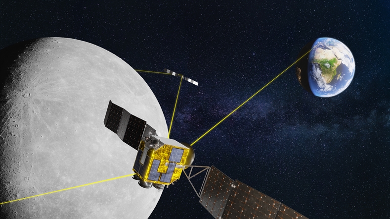
This is our time: Industrialising TNO's optical satellite communication technology

This is our time: working on breakthroughs in laser satellite communication
Making the Netherlands indispensable in laser satellite communication
Successful Ground Test Shows Potential for Satellite Identification
TNO & partners bring deep-space communication a step closer