

Future-proof land use
Human activities for energy and groundwater extraction in the (shallow) subsurface in the Netherlands have an effect on ground movement and subsidence. To prevent future damage, it is important to understand and predict this effect. Effective spatial planning and stakeholder management and governance are therefore urgent for future proof land use.
Process insight, validated geo-models and availability of geo-data is needed to ensure long-term stability and social acceptance for a safe and sustainable use of the subsurface.
Our latest developments
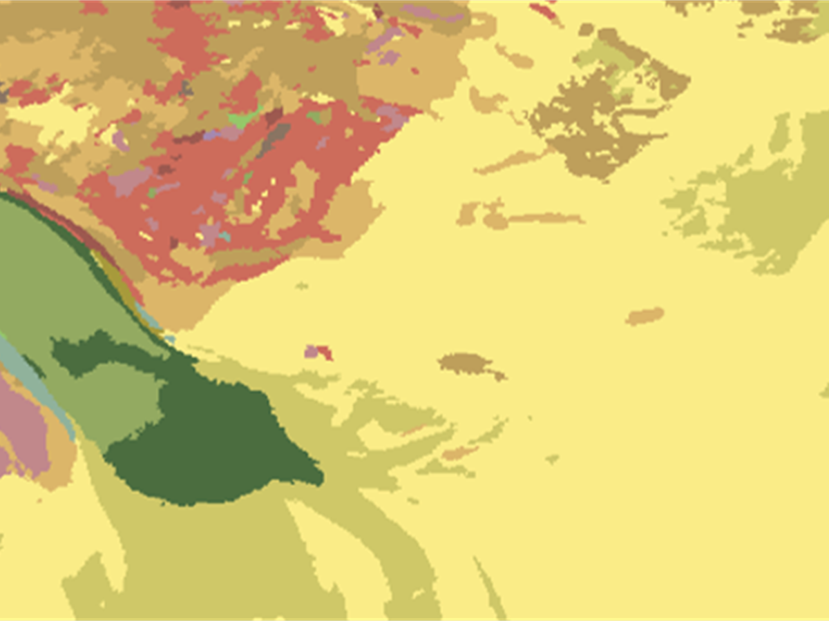
Updated seabed-sediment map provides more insight into the seabed of the Dutch North Sea
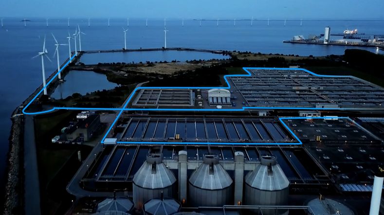
TNO and partners launch project to accelerate longduration energy storage in the Dutch energy system
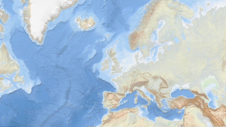
New map reveals coastal resilience and vulnerability across Europe
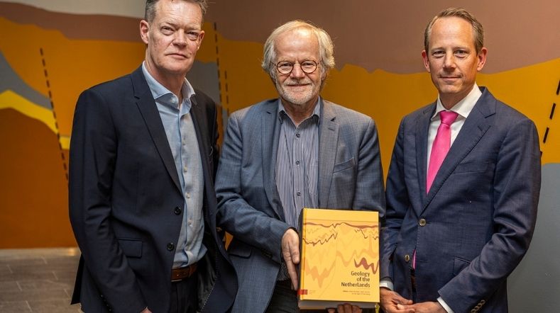
Geology of the Netherlands: the wealth of knowledge under our feet
How fast did sea levels rise after the last ice age?
Our impact
-
ELOQUENCE: quantifying well leakage risk for a safer energy transition
Status project
2026 - 2028
In cooperation with
TNO (Netherlands), SINTEF (Norway), Shell (Netherlands/UK), ...
-
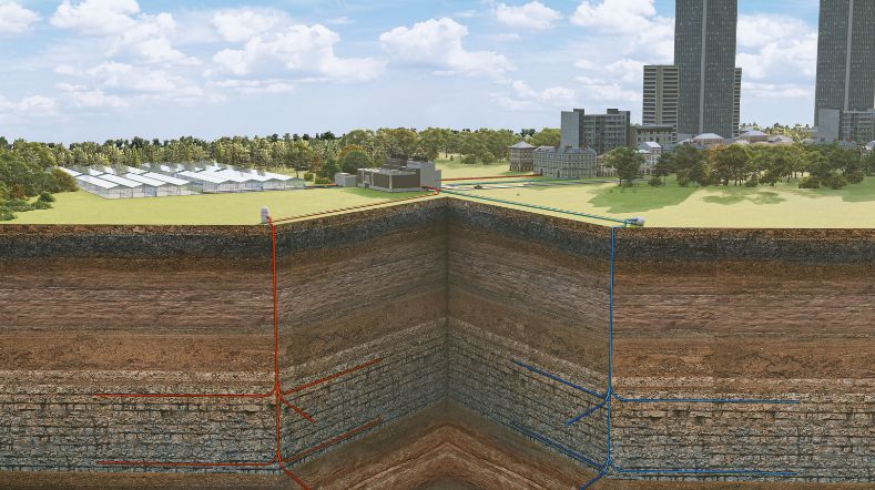
DGE-ROLLOUT: geothermal energy from deep geological layers in Northwestern Europe
Status project
2018 - 2022 (completed)
-
CRM Lion: locally recovering critical materials from lithium-ion batteries

Status project
April 2025 - November 2029
In cooperation with
Back-to-Battery, Eurofins, Nth Cycle, TU Delft and WMC
-
DEPLOI: Geothermal drilling using the ‘steel shot’ drilling technique
Status project
Since 2021 – present
In cooperation with
Canopus and many partners
-
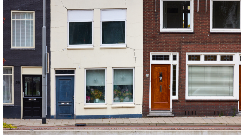
Anticipating subsidence-induced building damage
Status project
Duration: 2022 - 2025
-
Research project on geothermal energy and seismicity in Pijnacker
Status project
2023 - 2026
In cooperation with
KNMI and Ammerlaan Geothermie
-
Cost reduction of transport systems for geothermal district heat

Status project
2020-2023
In cooperation with
Consortium DRAGLOW
-
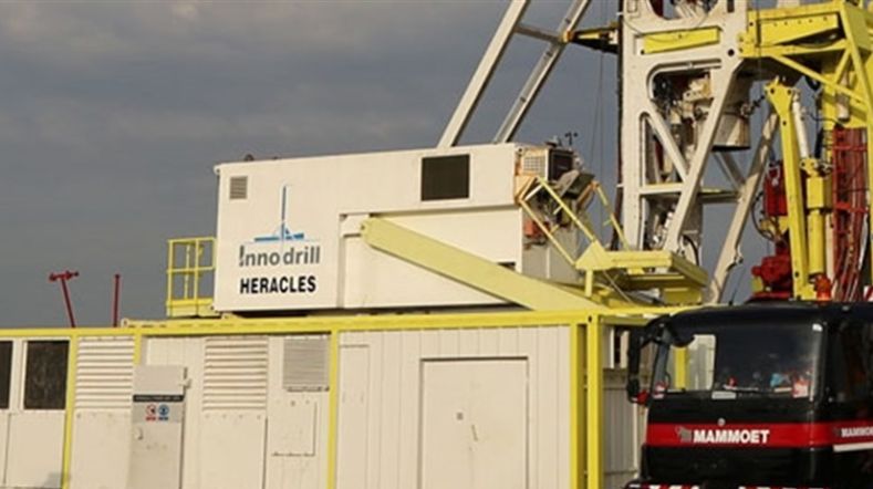
Innovative drilling technique promises new possibilities for extracting geothermal heat
In cooperation with
ENGIE, Huisman Geo and EBN
Contact us
-
Maarten Pluymaekers
Functie:Senior advisor mining effects-
Standplaats:Utrecht - Princetonlaan
-
Email:Email Maarten
-