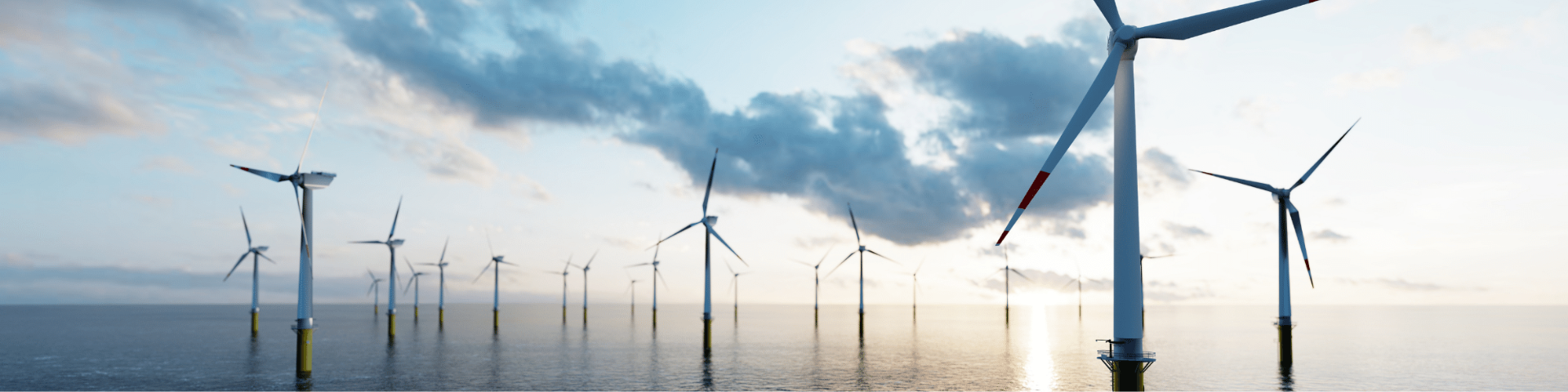
Offshore wind conditions
For the development of offshore wind farms, developers need a thorough knowledge of the wind conditions at their designated location. These conditions are essential to establish an energy yield assessment which underpins the business case. The measurements can improve the predicted energy yield by a few percentage points, reducing financial uncertainties. This information is also required for the optimal design of wind farms. Large turbines are subjected to heavy and irregular wind loads. TNO is gaining valuable insights into wind conditions at the North Sea through its long-term wind measurements at selected locations.
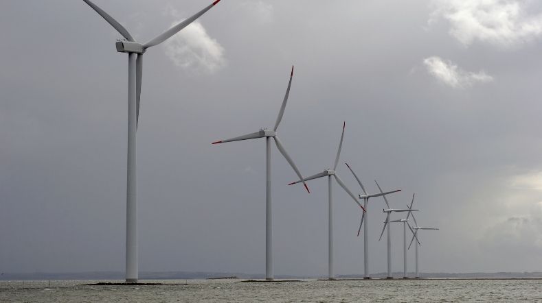
Measuring wind at the North Sea
TNO carries out long-term measurements of wind conditions at the North Sea. The data help developers design their offshore wind farms in the most efficient way and reduce uncertainties in the calculations for their business case.
New knowledge is constantly needed regarding wind conditions at future development locations, and the impact they have on wind farms and the individual wind turbines.
TNO currently conducts measurements at four offshore platforms: Lichteiland Goeree (LEG), Europlatform (EPL) and production platforms K13-A and L2-FA-1. A fifth measurement location will be established at the F2-A-Hanze platform before the start of 2026.
The measurements are carried out using vertical profiling LiDAR measurement systems which provide measurements between ca. 60–300 m above sea level.
Expansion of wind energy at sea
To support the future developments of offshore wind energy, TNO carries out multi-year wind measurements on several platforms in the North Sea, on behalf of the Ministry of Climate Policy and Green Growth.
DOWA: Dutch Offshore Wind Atlas
TNO, KNMI and Whiffle have jointly compiled a wind atlas called Dutch Offshore Wind Atlas (DOWA). It contains detailed information about the wind all across the North Sea, at an unprecedented level.
DOWA provides wind speed and wind direction up to an altitude of 600 m, at a spatial resolution of 2.5 km2 and on an hourly basis. DOWA wind information is available from 2008 until 2018. Together with the LiDAR measurements it provides a solid basis for developing offshore wind farms.
TNO has specific expertise on the wind conditions and how they affect wind turbines and wind farms, and the KNMI contributes its own specialist knowledge using weather models. Whiffle has developed software which is able to calculate local wind information to an extremely high resolution.
Based on improved models and methodology, the new atlas provides more accurate wind information at a higher resolution and at altitudes of up to 600 m.
TNO has validated the atlas using accurate wind measurements from offshore meteorological masts, LiDARs on platforms, floating LiDARs, and from satellites and aircraft. This will enable a better understanding of the wind conditions that affect offshore wind energy, especially at higher altitudes.
Contact us
-

Marijn van Dooren
Functie:Medior Scientist IntegratorDr. ir. Marijn Floris van Dooren is a wind energy scientist with a strong background in lidar measurement, wind resource assessment and wind field reconstruction. Marijn is passionate about leveraging his scientific expertise for the acquisition and management of innovative wind energy projects. At TNO he is responsible for projects dealing with lidar measurements, including the ‘Wind op Zee’ project.
-
Standplaats:Rijswijk - Kesslerpark
-
Email:Email Marijn
-
Get inspired
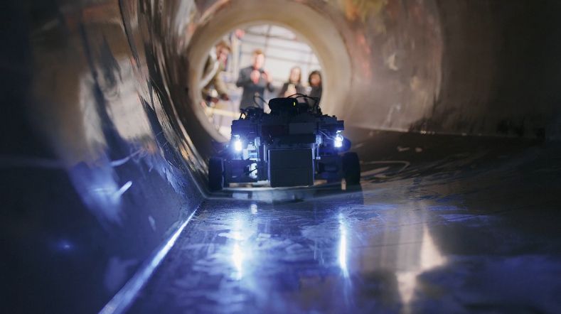
Improving wind turbine maintenance with the sensor installation robot
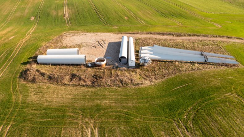
Project launched for recycling wind turbine blades
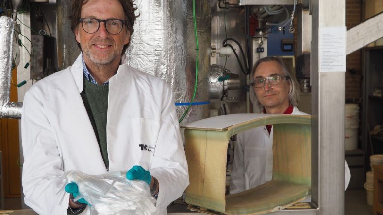
TNO research leads to better damage prediction for offshore wind turbine blades
Better damage prediction for wind turbine blades through unique weather measurements at sea
First study on public perception of wind turbine circularity