Subsurface
At TNO we research, develop, orchestrate, and enable cutting-edge innovations that drive the change to net zero.
The TNO Geological Survey of the Netherlands is the knowledge and data centre of the Dutch subsurface and subsurface technologies. We help businesses and governments make well-informed, sustainable decisions about land utilization, subsurface usage and groundwater stewardship.
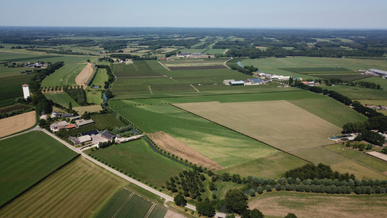
Geological Survey of the Netherlands: sustainable use of the subsurface
With our information provision, research, and technology, we contribute to a sustainable subsurface. Take a look at the projects we’re working on. Or read more about the Geological Survey of the Netherlands at TNO.
Our latest developments
43 resultaten, getoond 1 t/m 5
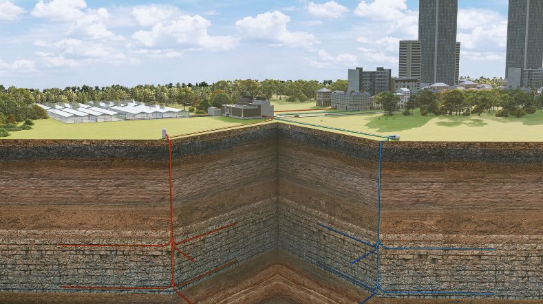
Further growth in geothermal energy production in 2024
TNO analysed the geothermal production in 2024 and found that the growth in production compared to 2023 has increased.


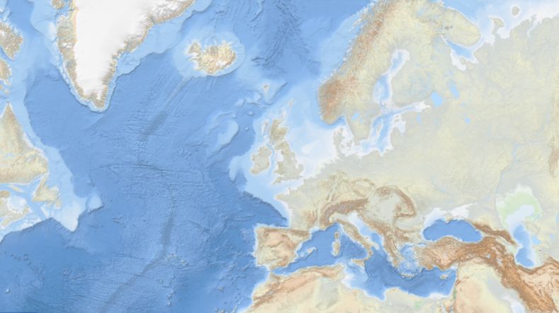
New map reveals coastal resilience and vulnerability across Europe

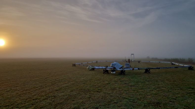
Helicopter survey will provide 3D image of salinisation and subsurface

Methane emissions in the North Sea Symposium
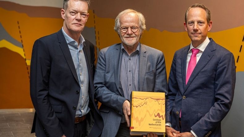
Geology of the Netherlands: the wealth of knowledge under our feet
