Making cities and transport climate adaptive
How can we prevent heavy showers, floods or extreme heat from completely disrupting the city? In cities especially, we are seeing that the effects of climate change and other major events can be hugely disruptive. How do we keep cities liveable and accessible even during unexpected incidents? What do we need to do this and how can municipalities prepare?
Mobility and climate change
How can we ensure that transport networks (road, rail and water) are more resilient to the negative effects of climate change? And how can we limit the 'recovery time' after heavy rainfall or extreme heat?
Climate change has regularly led to major disruptions to our road network in recent times. Delays (or worse) are also regularly experienced on the railways and on the rivers, which underlines the need to build climate-robust infrastructure. The challenge is to determine which measures are effective and efficient. TNO examines the effectiveness of nature-inclusive designs and 'nature-based solutions', among other things.
Why TNO?
- TNO supports companies that develop products and services to make the Netherlands more climate-adaptive. We do this with data, insights and smart models. By working together, innovations become available to society more quickly on a large scale.
- TNO also supports governments in preparing themselves well: through insights and innovative approaches, we help to limit damage and government money is used as efficiently as possible.
Contact us
-

Marianne Aalbersberg
Functie:Business Developer Living environment, climate adaptation and spatial choicesI am responsible at TNO for the innovation programmes for liveable cities and regions, with a focus on mobility, climate adaptation, and spatial planning decisions. How do we solve the spatial puzzle effectively, both for now and the future? We work closely with businesses and governments to achieve the most impactful innovations.
-
Standplaats:Delft - Molengraaffsingel
-
Email:Email Marianne
-
Get inspired
Don't jump on every innovation bandwagon: TNO's framework to help cities make smarter mobility choices
Urban space

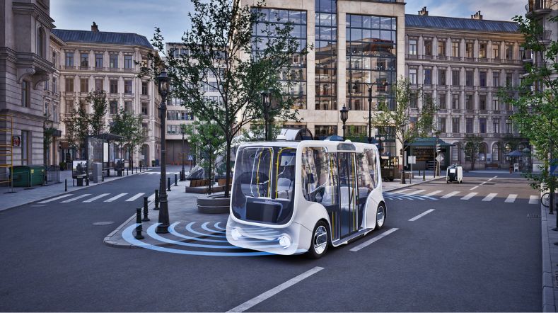
Zero emission urban mobility

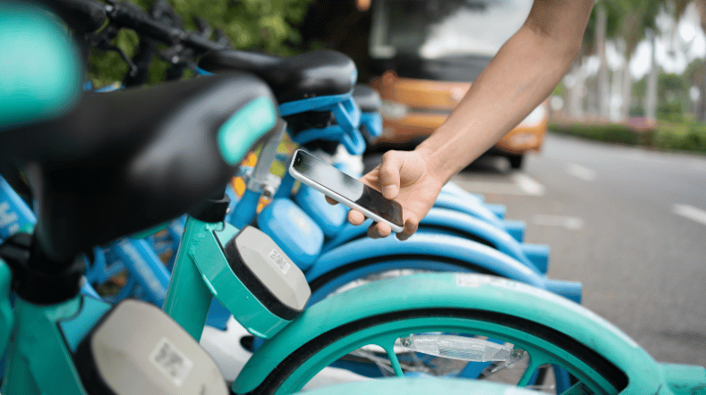
How governments can make MaaS work to societal goals
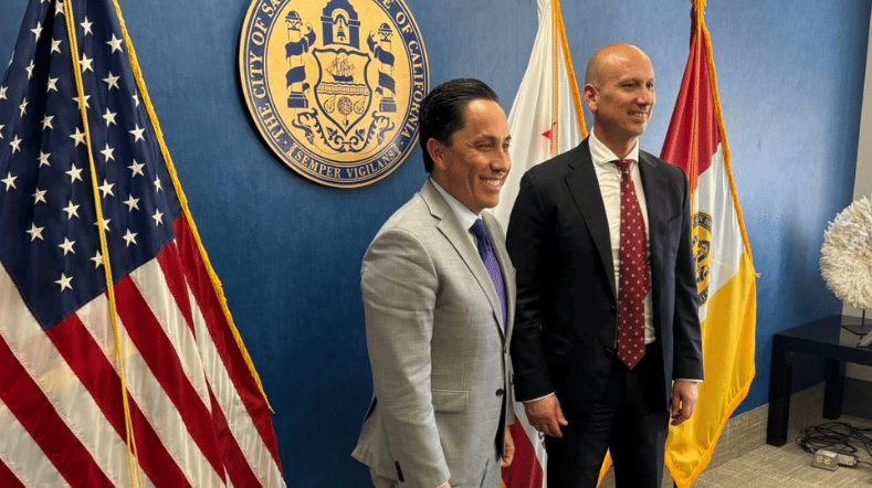
With Urban Strategy, TNO connects with innovative U.S. West Coast in San Diego