The Geological Survey of the Netherlands visualises groundwater quality
Starting this week, the Geological Survey of the Netherlands (GDN), part of TNO, delivers groundwater composition data in the new web tool ‘Groundwater Quality Viewer’. The viewer provides access to a wealth of information benefiting sustainable public, industrial and agricultural groundwater use.
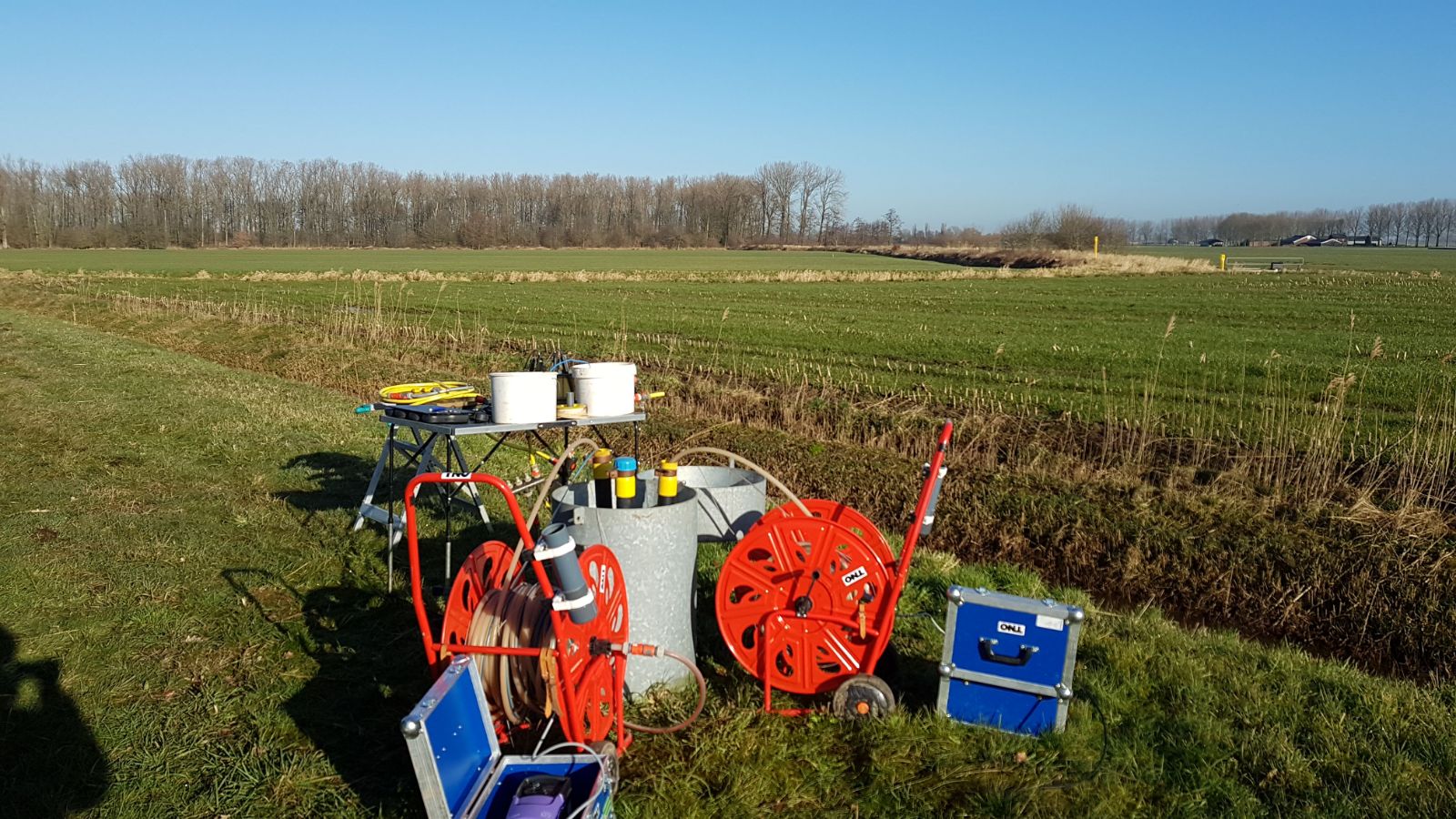
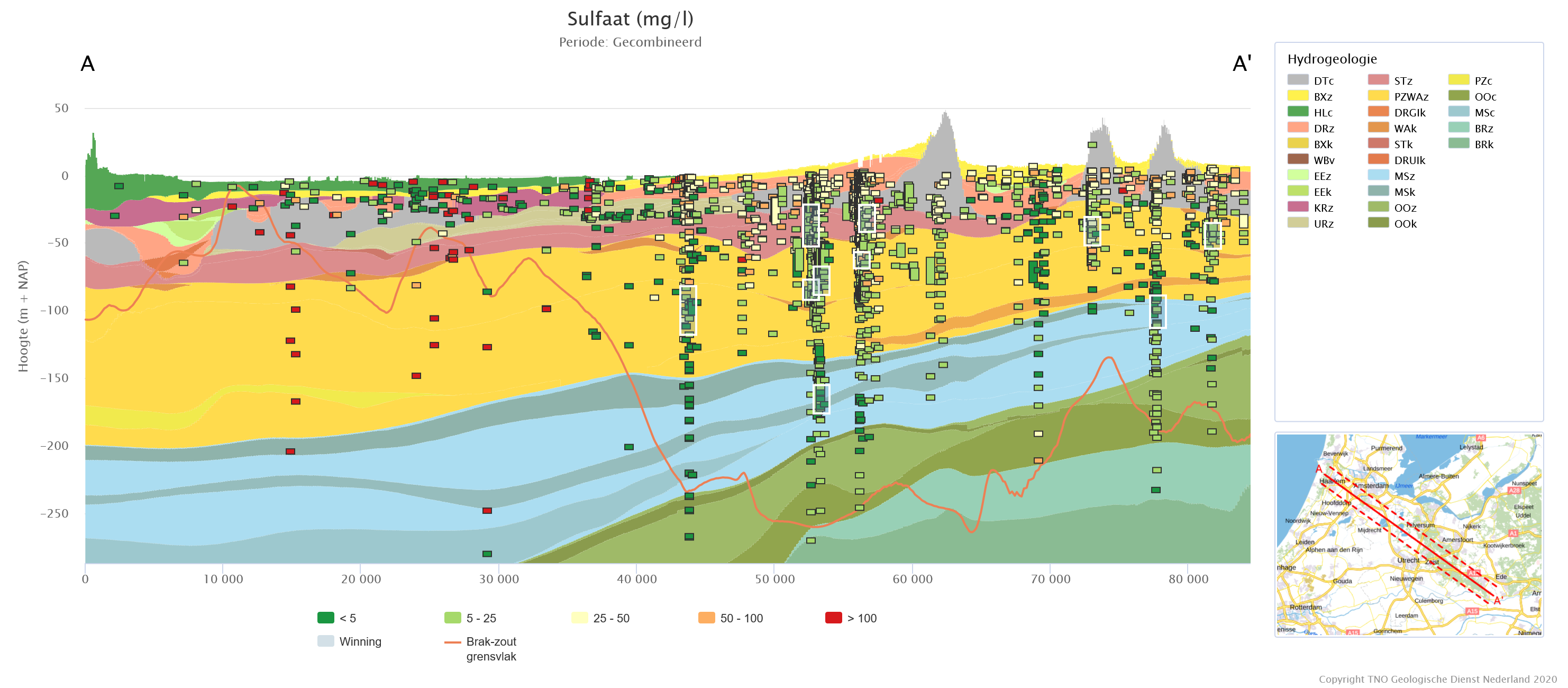
Typically, Dutch groundwater quality monitoring targets the shallow subsurface, i.e., up to about 10 m below surface, but ample information is also available, and now accessible, on the composition of deeper groundwater.
An earth scientific look at groundwater
The Groundwater Quality Viewer builds on GDN’s national systematic 3D subsurface mapping programs and associated research. For the first time, groundwater composition can be easily related to landscapes and geology.
“Smart combinations of different data sets in the Groundwater Quality Viewer help the user build an understanding of groundwater quality and its evolution. Visualising groundwater quality information within a geological framework is really insightful.” says Michiel van der Meulen, chief geologist of the GDN.
“As a result of cooperation with provincial authorities and drinking water suppliers in the central and southern parts of the Netherlands, the dataset behind the viewer currently covers the Rhine-Meuse delta and higher grounds south of it. The amount of data will further increase in the coming years. The tool enables the analysis of the influences of land use and groundwater age distributions on the composition of the groundwater”.
Publicly accessible
The Groundwater Quality Viewer is freely accessible. Water suppliers could benefit by linking the water composition of the water supply wells to water composition in their well fields, or relate groundwater quality to the hydrogeological structure of the subsurface.
Technology providers could proactively assess the redox status of the groundwater, in order to prevent potential clogging of recharge wells in Aquifer Thermal Energy Storage systems. And regional and national authorities might use the data to evaluate and delineate strategic groundwater resources and national groundwater reserves as required by the Dutch National Spatial Planning Strategy for the Subsurface
Future national coverage
Within the current geographical extent of the data, the Groundwater Quality Viewer covers the full depth of Dutch fresh groundwater resources, i.e., to about 300 meter below the surface. The dataset will be expanded in the coming years and grow towards a national dataset.
The Groundwater Quality Viewer comprises data on aluminum (Al), arsenic (As), ammonium (NH4), bicarbonate (HCO3), cadmium (Cd), chloride (Cl), electrical conductivity (EGV), phosphate (PO4), iron (Fe), copper (Cu), nickel (Ni), nitrate (NO3), sulphate (SO4) and zinc (Zn).
Additional deduced parameters include the calcite saturation index, the oxidation capacity and oxidation capacity class, pH and redox class, water type and salinity class.
Contact us
-

Michiel van der Meulen
Functie:Chief Geologist Geological Survey of the Netherlands-
Standplaats:Utrecht - Princetonlaan
-
Email:Email Michiel
-