

Space data for a liveable planet
Earth observation satellites are vital tools for monitoring our planet's atmosphere, land and water. TNO develops satellite instruments and air-quality and greenhouse-gas downstream models that enable a targeted approach for reducing global emissions.
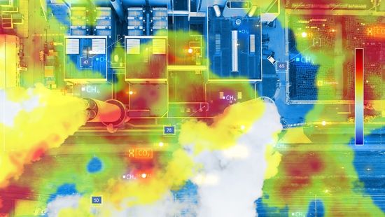
This is our time: Innovations to combat climate change
Climate change is one of the greatest challenges of our time. TNO develops solutions to reduce greenhouse gas emissions, including removing CO₂ from the atmosphere and using satellite-based Earth observation to detect emission sources.
Inspiring projects
-
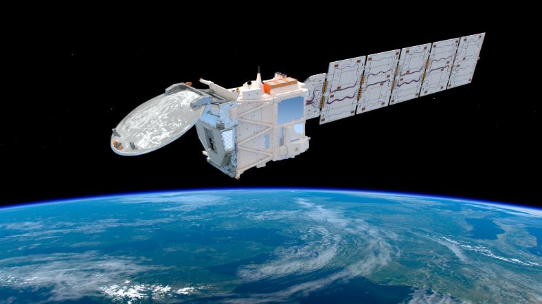
EarthCARE: analysing clouds and aerosols in reflecting solar radiation
In cooperation with
Surrey Satellite Technology Ltd, ADS NL, Xenics
-
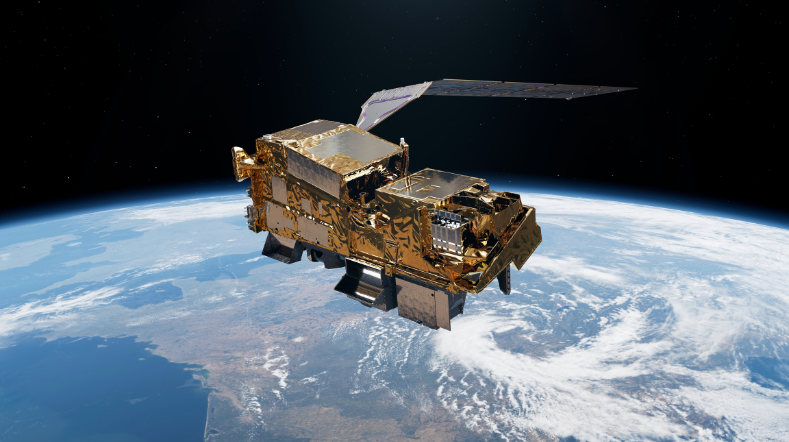
TNO’s contribution to Sentinel-5
-
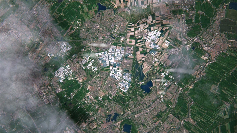
Clear Air consortium drives climate action and economic growth
Status project
2021 - present
In cooperation with
KNMI, TU Delft and SRON
-
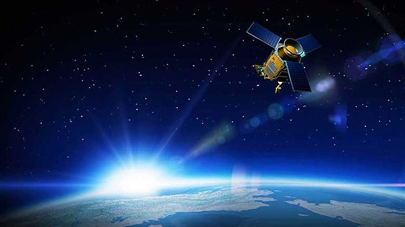
TROPOMI: measuring climate and air pollution
In cooperation with
Airbus Defence & Space Netherlands, SRON, KNMI
-
TANGO satellite: monitoring greenhouse gas emissions
Status project
Ongoing
In cooperation with
ISISpace, SRON and KNMI
Crucial satellite instruments
TNO develops compact and affordable satellite instruments that contribute to solutions for societal challenges, such as monitoring air pollution, greenhouse gas emissions and water quality. To achieve this, TNO is working on a family of small Earth observation instruments:
- Spectrolite for measuring air pollution and greenhouse gases
- HIGS instrument for measuring air pollution and greenhouse gases using an even more compact technology, with the ability to create an immediate two-dimensional image of the pollution (‘imaging’)
- HIRIS for the precise monitoring of water pollution
Thanks to their modular design, these instruments can easily be adapted to different applications, reducing the need for costly bespoke solutions. Combined with TNO’s expertise in satellite data, this creates integrated solutions, from measurement instrument to actionable information product.
Earth observation data
The true value of earth observation emerges when satellite data are translated into actionable insights. TNO develops innovative applications that help governments, businesses and other stakeholders monitor air pollution and greenhouse gas emissions more effectively and take targeted reduction measures. TNO combines satellite data with atmospheric models, in-situ measurements and broad domain knowledge in fields including energy, infrastructure, health, defence, traffic and transport.
For atmospheric monitoring, TNO develops solutions that provide insight into relevant greenhouse gases, such as CO2 and CH4, and forms of air pollution, such as NO2, aerosols and particulate matter. Satellite data are highly valuable in this context because they enable global, independent and frequent measurements, including in areas where ground-based measurements are unavailable. For this purpose, TNO combines data from satellite instruments such as TROPOMI, MODIS, CrIS and IASI with the LOTOS-EUROS atmospheric transport and chemistry model. This model makes it possible to predict pollution levels at locations and times for which no direct measurements are available.
With more than 50 years of experience advising organisations including the Dutch government and the European Commission, TNO develops applications that can be used by partners in government and industry. Examples include monitoring urban air quality, methane emissions from the oil and gas industry and coal mining, ammonia emissions in European countries, and dust storm forecasting for the World Meteorological Organization. TNO also develops systems such as TOPAS, which can attribute pollution to specific sectors, such as transport, agriculture and industry, and to geographical areas such as cities, provinces or countries.
Beyond atmospheric monitoring, earth observation offers opportunities for many other societal and economic applications. Thanks to TNO’s multidisciplinary expertise, satellite data can be used across a wide range of domains. For example, EO radar data, such as InSAR, are used to monitor geothermal energy, gas storage and hydrocarbon production. Large satellite datasets can also be combined to optimise the location and operation of microgrids. In this way, TNO helps transform satellite data into concrete information products that support better decision-making and sustainable solutions.
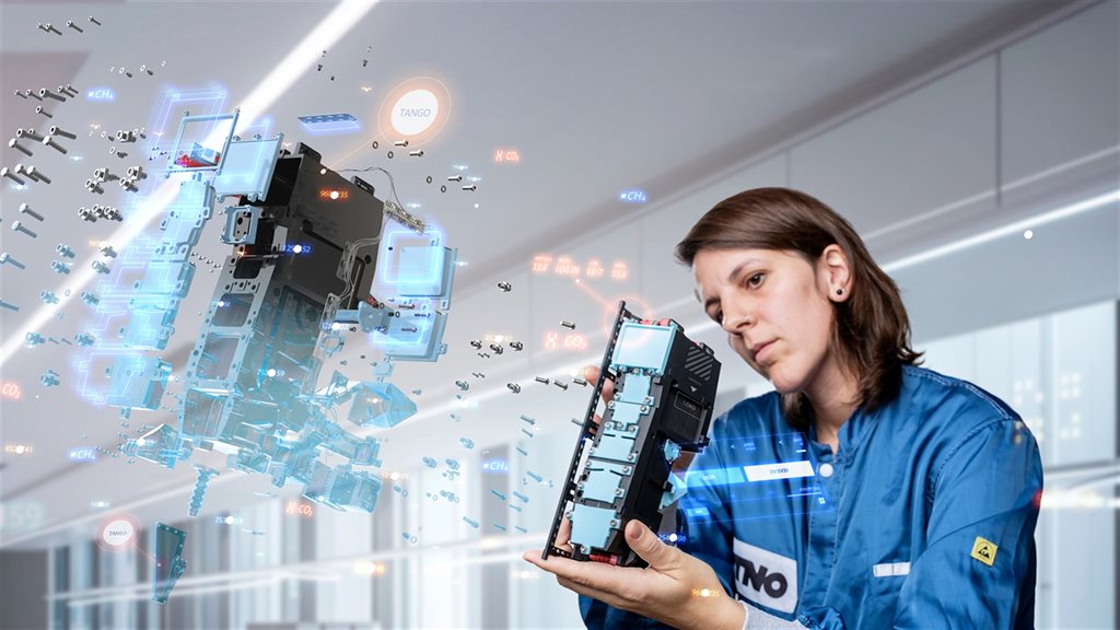
TANGO satellite: monitoring greenhouse gas emissions
TANGO satellite: monitoring greenhouse gas emissions
Calibration is essential for the reliable interpretation of data from space instruments. Without calibration, measurement data lose their scientific value. TNO therefore develops and builds specialised calibration facilities tailored to the specific instrument and the conditions in which it is used. Using these facilities, TNO examines factors including radiometric properties, polarisation, wavelength calibration, light splitting, stray light and the instruments’ field of view. Because space instruments operate under extreme conditions, such as vacuum, temperature fluctuations and weightlessness, measurements are carried out in facilities including the Thermal Vacuum Chamber at the Van Leeuwenhoek Laboratory in Delft.
One example of an extensive calibration campaign is GOME-2, in which the instrument was tested at different temperatures for more than five months. The campaign focused on radiometric calibration and the characterisation of light splitting. In collaboration with NASA, NPL and the University of Bremen, additional measurements were carried out, including measurements to better understand the instrument’s behaviour under different atmospheric compositions. This knowledge contributes to more accurate scientific data products and improved algorithms
The diffuser is an important component of radiometric calibration. It enables an instrument in space to observe the sun and use the intensity of solar radiation for absolute calibration. The accuracy of the measurement data depends heavily on the quality and characterisation of this diffuser. TNO therefore developed the Quasi Volume Diffuser (QVD), which has improved scattering properties and has been used in OMI and GOME-2, among other instruments. TNO also develops models to predict the behaviour of diffuser designs and is working to further improve this technology.
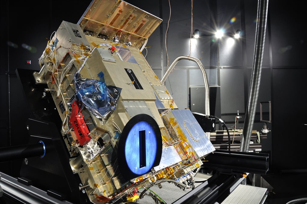
On-sky calibration of the GOME-2 instrument
More about earth observation
Ground-based measurements provide highly localised and often precise information about a specific location. Satellites, by contrast, provide a broad, independent and regular view of large areas, including regions where no monitoring stations are available. Their strength therefore lies primarily in the combination: satellite data show where and when pollution occurs, while ground-based measurements and models help to interpret and validate that information.
Satellite measurements are combined with models, emissions data and ground-based measurements to create a complete picture of air quality and emissions. For this purpose, TNO uses atmospheric models such as LOTOS-EUROS and applications such as TOPAS, which can link pollution to sectors and geographical areas. This produces information that helps governments substantiate policy, evaluate measures and take more targeted action to reduce emissions.
Small satellite instruments are becoming increasingly accurate thanks to miniaturisation, smart optomechanical designs and new spectrometer technology. TNO develops compact instruments such as Spectrolite, which are designed for applications such as measuring air pollution and greenhouse gases. For TANGO, for example, instruments are being developed that can measure emissions at the level of individual industrial facilities with a spatial resolution of approximately 300 by 300 metres.
Small satellites make it possible to develop missions more quickly, affordably and flexibly. Because they can fly in constellations, they can measure the same area more frequently than a single large satellite. This is important for tracking emissions that vary significantly over time and by location, such as methane leaks or emissions from industrial sources. TNO therefore sees small satellites as an important complement to large operational missions such as the Copernicus Sentinel programmes.
Earth observation enables independent measurements of greenhouse gases such as CO2 and CH4. As a result, emissions can not only be estimated, but also monitored and verified more effectively. This is important for international climate agreements because countries and organisations need insight into how emissions are actually developing and the impact of reduction measures. The TANGO mission is one example: it focuses on measuring anthropogenic greenhouse gas emissions at the level of individual sources.
In addition to air quality and climate, TNO sees opportunities for applications in fields including energy, infrastructure, water quality, maritime monitoring, health, defence and traffic. Satellite data can, for example, be used to monitor geothermal energy, gas storage and industrial activities, or to optimise energy systems such as microgrids. By combining domain knowledge with satellite data, TNO can develop new information products for a wide range of societal and economic challenges.
The Netherlands has established a strong position in optical instrumentation, atmospheric research, data processing and emissions modelling. TNO played an important role in developing TROPOMI, which maps air pollution and greenhouse gases more accurately than previous instruments. The Netherlands also continues to lead the way in new missions such as TANGO by combining compact satellite instruments with scientific models and applications for government and industry.
Contact us
-

Anton Leemhuis
Functie:Director Earth observationContact me to partner with TNO on satellite instrumentation and data technology for global and independent monitoring and reduction of greenhouse gases and air pollution.
I connect governments and industries with our Earth Observation (EO) teams and open new global markets for TNO’s EO innovations.
-
Standplaats:Delft - Stieltjesweg
-
Email:Email Anton
-
LinkedIn:Anton on LinkedIn
-