Subsurface
At TNO we research, develop, orchestrate, and enable cutting-edge innovations that drive the change to net zero.
The TNO Geological Survey of the Netherlands is the knowledge and data centre of the Dutch subsurface and subsurface technologies. We help businesses and governments make well-informed, sustainable decisions about land utilization, subsurface usage and groundwater stewardship.
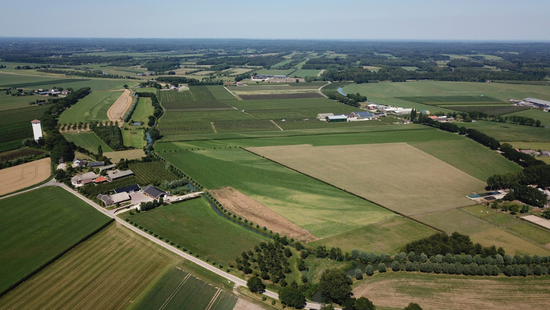
Geological Survey of the Netherlands: sustainable use of the subsurface
With our information provision, research, and technology, we contribute to a sustainable subsurface. Take a look at the projects we’re working on. Or read more about the Geological Survey of the Netherlands at TNO.
Our latest developments
Oil and gas in transition

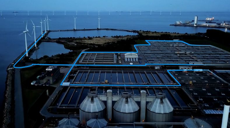
TNO and partners launch project to accelerate longduration energy storage in the Dutch energy system
Critical raw materials
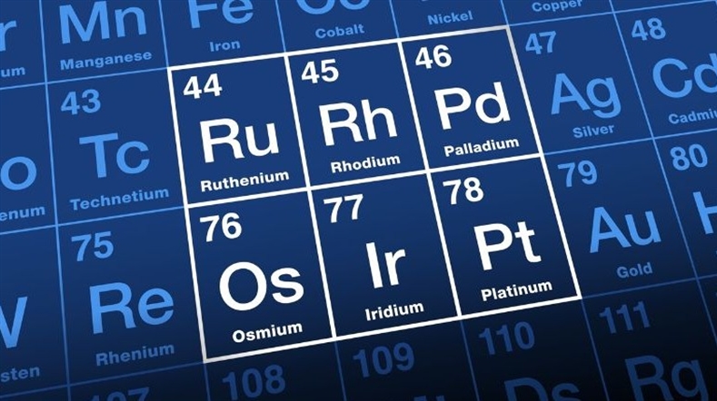
CRM materials and processes
TNO–SodM–NIOZ: ‘Methane emissions in the North Sea often linked to shallow natural gas’

Our impact
-
ELOQUENCE: quantifying well leakage risk for a safer energy transition
Status project
2026 - 2028
In cooperation with
TNO (Netherlands), SINTEF (Norway), Shell (Netherlands/UK), ...
-
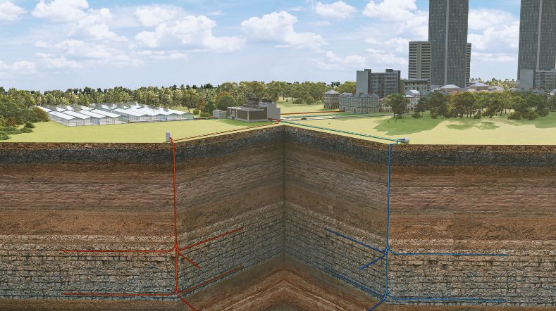
DGE-ROLLOUT: geothermal energy from deep geological layers in Northwestern Europe
Status project
2018 - 2022 (completed)
-
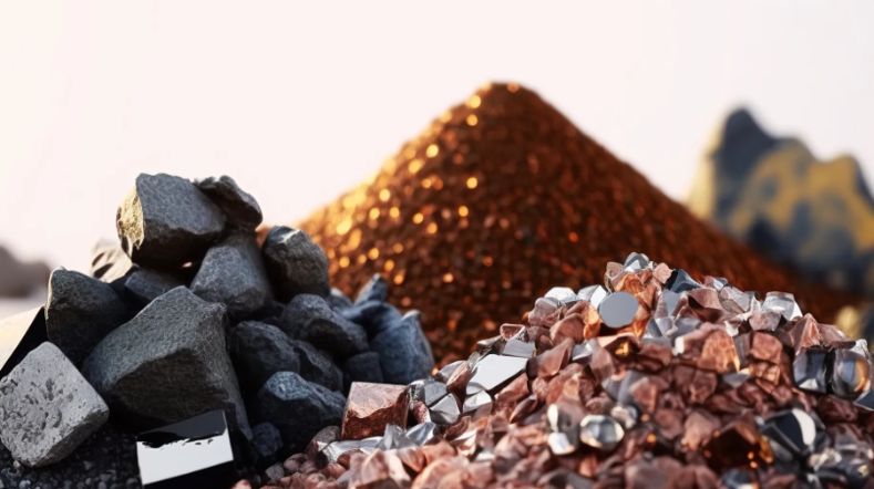
CRM Lion: locally recovering critical materials from lithium-ion batteries

Status project
April 2025 - November 2029
In cooperation with
Back-to-Battery, Eurofins, Nth Cycle, TU Delft and WMC
-
DEPLOI: Geothermal drilling using the ‘steel shot’ drilling technique
Status project
Since 2021 – present
In cooperation with
Canopus and many partners
-
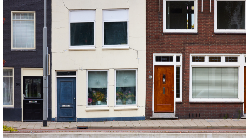
Anticipating subsidence-induced building damage
Status project
Duration: 2022 - 2025
-
Research project on geothermal energy and seismicity in Pijnacker
Status project
2023 - 2026
In cooperation with
KNMI and Ammerlaan Geothermie
-
Cost reduction of transport systems for geothermal district heat

Status project
2020-2023
In cooperation with
Consortium DRAGLOW
-
Innovative drilling technique promises new possibilities for extracting geothermal heat
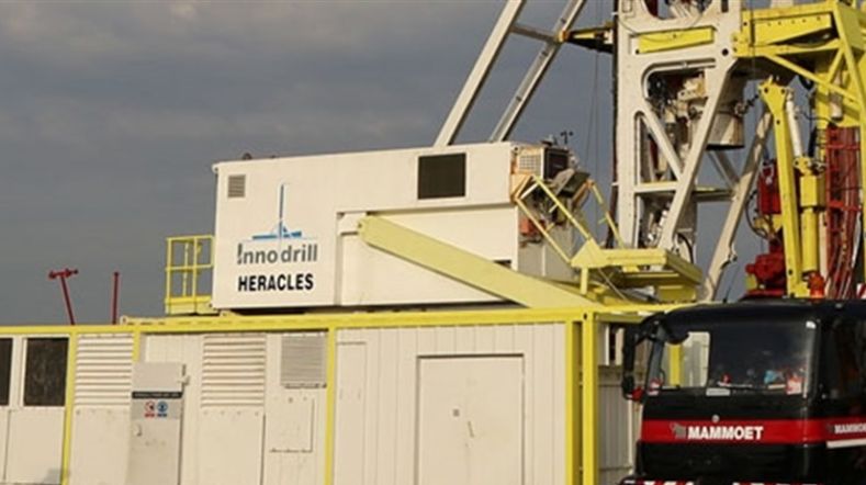
In cooperation with
ENGIE, Huisman Geo and EBN
Contact us
-

Tirza van Daalen
Functie:Director Geological Survey of the Netherlands-
Standplaats:Utrecht - Princetonlaan
-
Email:Email Tirza
-
-

Michiel van der Meulen
Functie:Chief Geologist Geological Survey of the Netherlands-
Standplaats:Utrecht - Princetonlaan
-
Email:Email Michiel
-
-

Maurice Hanegraaf
Functie:Market manager Geological Survey of the Netherlands-
Standplaats:Utrecht - Princetonlaan
-
Email:Email Maurice
-
LinkedIn:Maurice on LinkedIn
-