New map reveals coastal resilience and vulnerability across Europe
The Geological Survey of the Netherlands, part of TNO, has launched a new online geological map in collaboration with Edge Hill University and other international partners. This Coastal Resilience and Vulnerability map, developed under the European Marine Observation and Data Network (EMODnet), visualises the resilience and vulnerability of pan-European coastlines, based on insights from over 900 scientific studies. It is the first time such a large dataset has been consolidated into a user-friendly, interactive map.
View the map
Do you want to explore this new map?
Better insight for coastal decision-making
Around 40% of the global population lives within 100 km of the coast. These areas are increasingly under pressure from climate change, extreme weather events, and human activity. The new map provides valuable insight into the structure and shape of coastlines, erosion patterns, sediment supply, and flood risks.
The map categorises coastal areas into low, medium, and high levels of vulnerability to erosion and flooding. Areas with high vulnerability are shown in dark blue, while low vulnerability areas appear in light blue. The coastlines of the Mediterranean and Baltic Seas appear more vulnerable than those of the Atlantic Ocean, North Sea, and Black Sea.
Understanding resilience and vulnerability
Coastal resilience refers to a coastline’s ability to absorb and recover from erosion or flooding before reaching a critical tipping point that may require intervention. It is influenced by factors such as the strength of coastal materials and the shape of the shoreline. Coastal vulnerability measures how sensitive a coastal system is to change. The greater the resilience, the lower the vulnerability.
Vulnerability is shaped by geological and geomorphological conditions, as well as marine, ecological, and socio-economic factors. Understanding both resilience and vulnerability is essential for developing effective climate adaptation strategies and ensuring sustainable coastal management.
A practical and accessible tool
'This new geological map from EMODnet is the first time such a large dataset on coastal resilience and vulnerability has been brought together and visualised in an accessible format,' says Ad van der Spek, senior marine geologist at TNO Geological Survey of the Netherlands.
'As a complement to existing EMODnet maps on coastal migration and type, it brings together diverse data sources and makes them available for coastal planning, policy development and management.'
A collaborative European effort
With input from all EMODnet Geology partners, the data has been integrated into a GIS-based coastal dataset, classified into three levels of resilience and vulnerability. The GIS file was produced by Edge Hill University in the UK and processed by TNO in the Netherlands. It allows users to explore and interpret data at various zoom levels and spatial scales.
More information?
Read the full scientific article 'EMODnet Geology: pan-European assessment of coastal resilience and vulnerability'.
Contact us
-

Ad van der Spek
Functie:Senior marine geologist-
Standplaats:Utrecht - Princetonlaan
-
Email:Email Ad
-
Get inspired
TNO and partners launch project to accelerate longduration energy storage in the Dutch energy system
Geology of the Netherlands: the wealth of knowledge under our feet
How fast did sea levels rise after the last ice age?
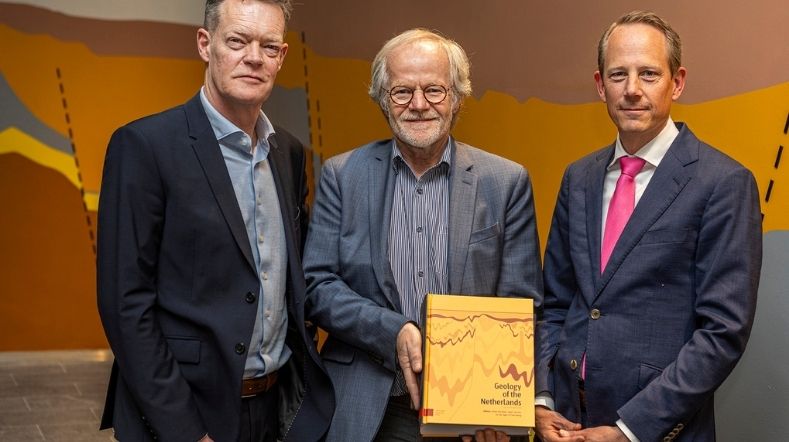
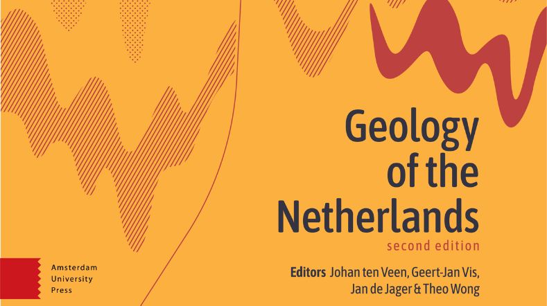
TNO presents new edition of 'Geology of the Netherlands'
Time setter story: Wilfred Visser