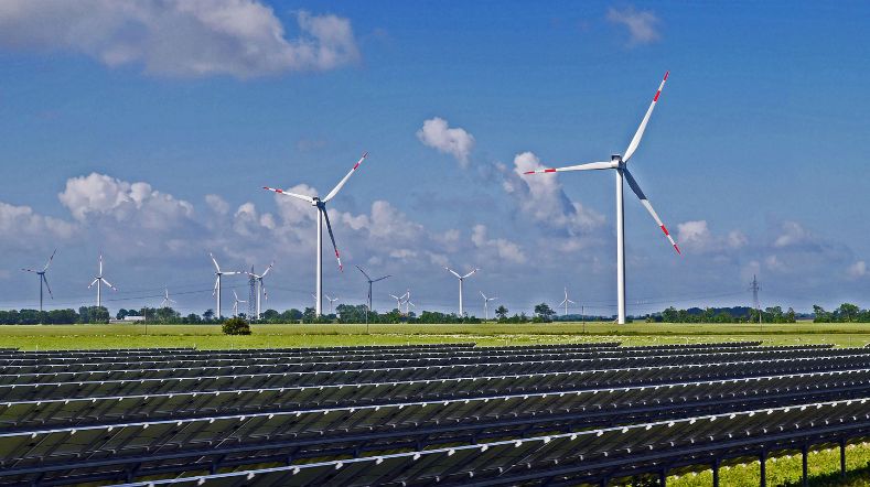
Energy supply
TNO researches, develops, orchestrates, and enables cutting-edge innovations that drive the change to net zero.
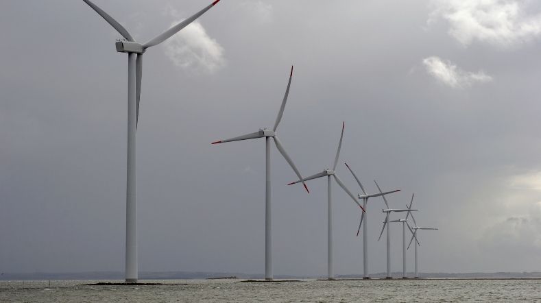
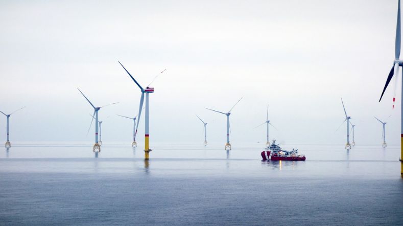
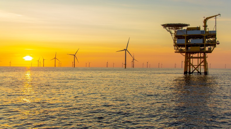
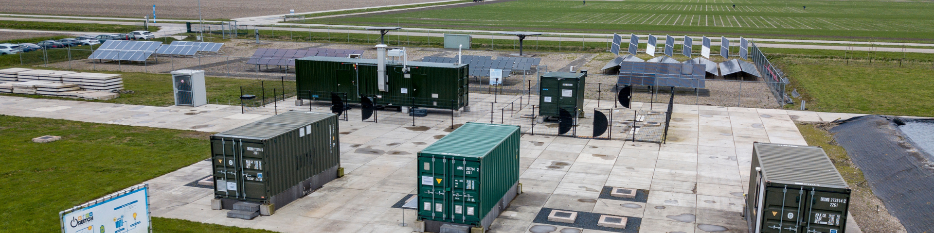
TNO Energy Supply focuses on an efficient energy production and storage infrastructure, both onshore and offshore. From effective, ecological and circular production and use of all components related to wind and solar energy.
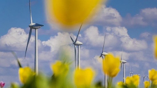
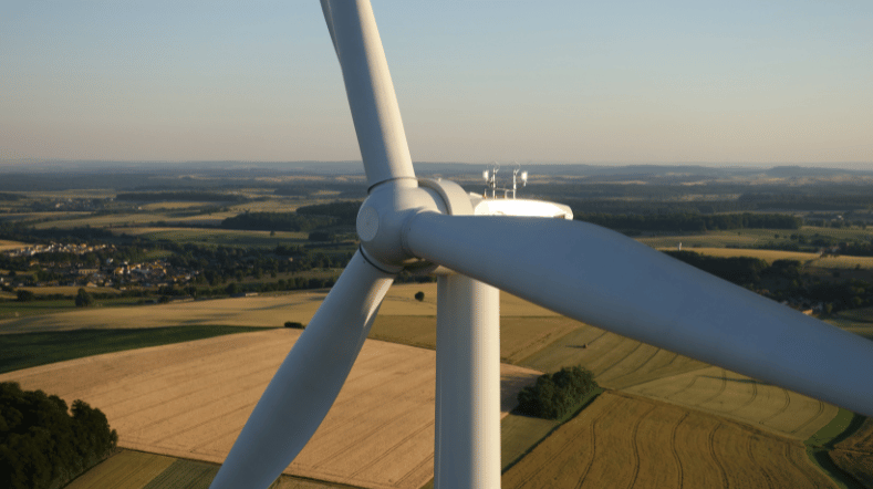
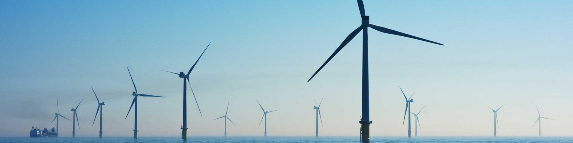
Cheaper and more effective electricity from solar and wind
Increasing renewable electricity is essential, but challenging. We’re developing technology for cheaper and more effective solar and wind energy.
Our latest developments
TNO and Jungle AI collaborate to detect cyberattack on wind turbine and improve detection capabilities
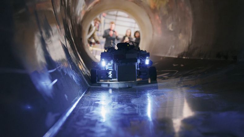
Improving wind turbine maintenance with the sensor installation robot
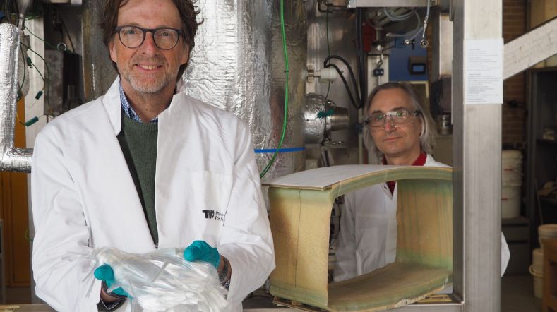
Project launched for recycling wind turbine blades
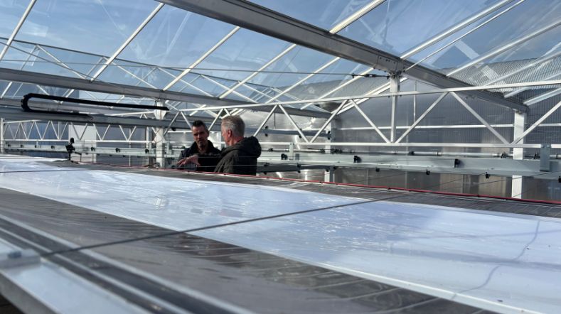
Shade screens with rollable solar foil combines energy generation with climate control in greenhouses
TNO research leads to better damage prediction for offshore wind turbine blades
Our impact
-
HEROW: learning, innovating and accelerating on offshore hydrogen platform
In cooperation with
TKI Offshore energy, DOB Academy and the Ministry of ...
-
SENSE-HUB: Offshore wind and floating solar for affordable green hydrogen
Status project
2023-2026
In cooperation with
Oceans of Energy, Deltares, NIOZ, Primo Marine, NewGroundLaw ...
-
TradeRES-project: Innovative market models for renewable energy integration in the EU
Status project
1 February 2020 - December 2025
In cooperation with
6 research institutions and 2 technology companies in the ...
-
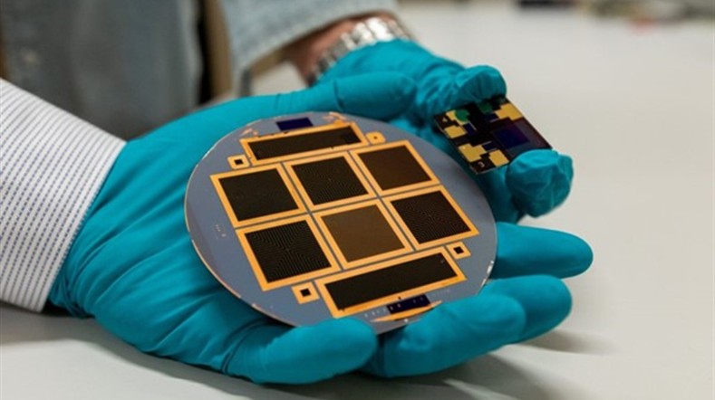
SolarNL: Large-scale production of Dutch solar panels
Status project
2024-2032
In cooperation with
Solarge, MCPV, HyET Solar, Compoform, Energyra, Lightyear ...
-
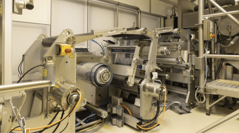
Roll-to-roll perovskite solar cells technology
-
Recycling solar panels and circularity

-
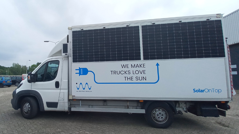
SolarMoves: Solar potential on electric vehicles within Europe
Status project
2023-2026
In cooperation with
Fraunhofer ISE, Sono Motors, IM Efficiency and Lightyear Layer
-
Heat generation in building components

Status project
2023 - 2025
In cooperation with
SolarTech, TU/e, ZND Nedicom, NRGTEQ
-
Wind of change in recycling wind turbine blades
Status project
2023 - 2026
In cooperation with
18 partners
-
FlexH2: Flexible Offshore Wind Hydrogen Power Plant Module
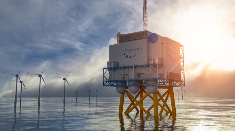
Status project
2022 – 2026
In cooperation with
10 partners
-
Mass customization 2.0: integrated solar cells for the construction sector
Status project
2023 - 2026
In cooperation with
Consortium Mass customization 2.0 funded by the EU’s Horizon ...
-
Accelerating energy transition built environment and infra with SolarEMR
Status project
2022-2023
In cooperation with
TNO, imec, ZUYD, HeLMo – CRIG, Soltech, KU Leuven, ...
-
Haliade X: Measurements on large wind turbine

In cooperation with
GE Vernova
-
Keeping the electricity grid stable when there’s a surplus of wind and solar
In cooperation with
Wageningen University & Research/ACRRES
-
Simulation software tools
Contact us
-

Mark Overwijk
Functie:Division Director Energy Supply-
Standplaats:Rijswijk - Kesslerpark
-
Email:Email Mark
-
-

Jan Brandts
Functie:Market Manager Energy SupplyJan Brandts aims to make a positive impact in the energy and materials transition and inspire others to do the same. With over 12 years of experience in the energy transition, Jan has extensive expertise in business development, system integration, mergers and acquisitions, and public affairs. He is the driving force behind innovative solutions in the energy market.
-
Standplaats:Rijswijk - Kesslerpark
-
Email:Email Jan
-