GeoData & Information Management
Our expertise group is active in the field of collecting, processing, storing, quality control and distributing high-quality data of the subsurface of the Netherlands. This includes the Dutch part of the North Sea and the Caribbean part of the kingdom. The data comes from various sources, such as oil and gas drilling, soundings, seismic surveys, field recordings, groundwater measurement data and more.
Digitally accessible
This data is digitally accessible for a variety of purposes, including the development of spatial plans, policy-making and scientific research. This helps governments, companies and other stakeholders with their spatial plans and decisions. Information from the Geological Survey of the Netherlands is frequently consulted by central government, provinces, municipalities, water boards, universities, schools, engineering firms and interested citizens.
Legal tasks
Our activities have a legal basis. According to the Subsurface Key Register Act and the Mining Act, we have the task of storing, processing and monitoring the quality of subsurface data. The expertise group focuses on data management, data and information modelling and data science. We maintain the content of the central storage of all available subsurface data. We also deal with information analysis, information management, data modelling and standardisation.
Artificial intelligence
We use artificial intelligence (AI), machine learning and algorithm development to keep the data permanently up to date. This allows us to update the large amounts of data in a fully automated way.
Subsurface samples
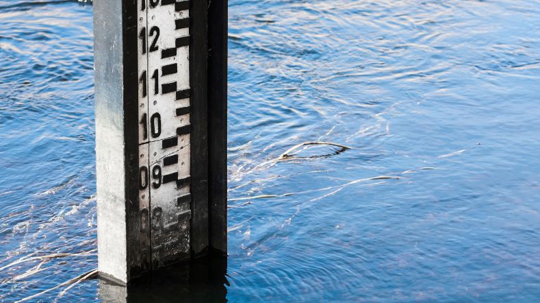
Subsurface data are not only available digitally. In the Central Core Storage tens of thousands of samples from the subsurface of the Netherlands are stored, collected at sea and on land over a period of more than 100 years. It is a unique archive of the subsurface that is mainly used by other research institutes and companies.
IT infrastructure and applications
Together with our colleagues from the Geo-Information Technology expertise group, we are responsible for the IT of Geological Survey of the Netherlands and all applications within it. GeoData & Information Management focuses mainly on managing the information, while Geo-Information Technology takes care of the IT infrastructure and applications. Our expertise group also includes the service desk and the (external) communication team supporting the Geological Survey of the Netherlands.
We make our subsurface knowledge available through various digital channels. The main ones are:
Contact us
-

Patrick Brooijmans
Functie:Research Manager-
Standplaats:Utrecht - Princetonlaan
-
Email:Email Patrick
-
Get inspired
Further growth in geothermal energy production in 2024

Methane emissions in the North Sea Symposium
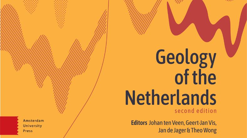
Geology of the Netherlands: the wealth of knowledge under our feet
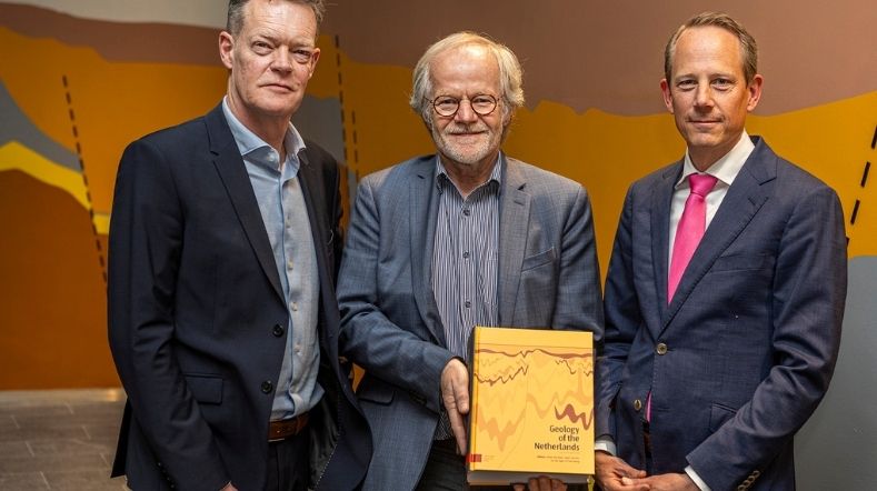
TNO presents new edition of 'Geology of the Netherlands'
Hydrology and Reservoir Engineering