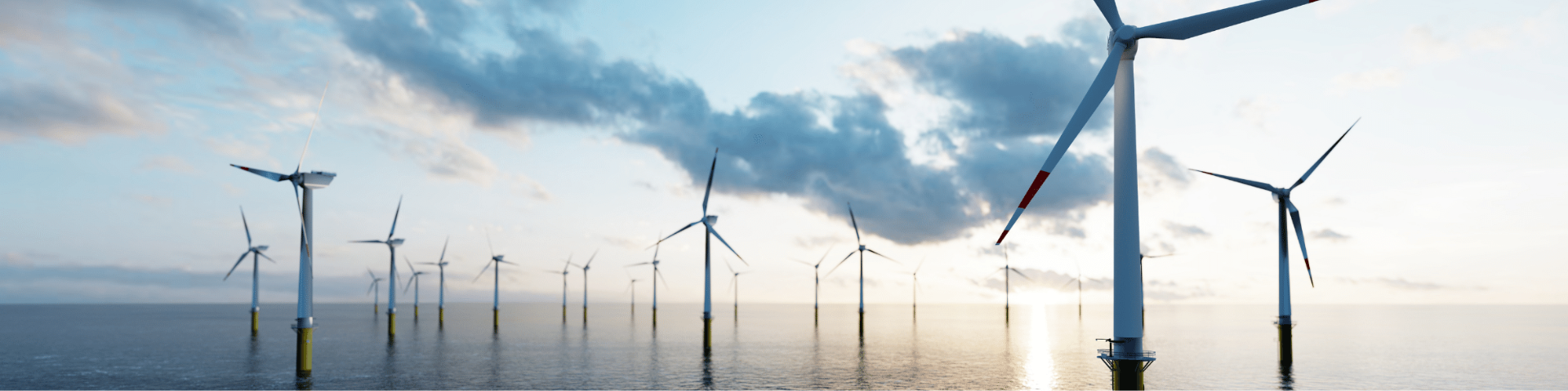
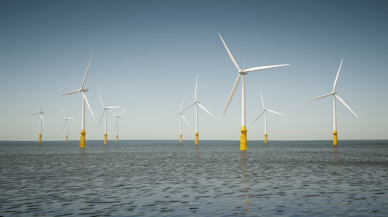
Offshore wind conditions
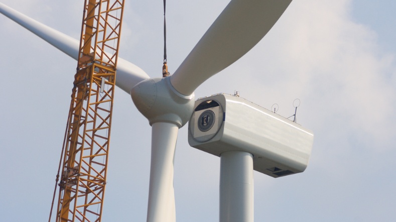
For the construction of offshore wind farms, developers need a thorough knowledge of the wind conditions at the proposed wind farm location. These conditions are essential to establish the energy yield which underpins the business case. This information is also required for the optimal design of wind farms. Large turbines are subjected to heavy and irregular wind loads. TNO is gaining a lot of insight into wind conditions at the North Sea through its long-term wind measurements at different altitudes.
Measuring wind at the North Sea
TNO carries out long-term meteorological measurements at the North Sea. The results help developers design their offshore wind farms in the most efficient way. New knowledge is constantly needed regarding wind behaviour in particular locations, and the forces it exerts on the structure and the blades. We carry out these measurements at four offshore platforms: Lichteiland Goeree (LEG), Europlatform (EPL) and production platforms K13a and L2-FA-1. These are carried out using (laser-based) LiDAR measurement systems which provide measurements up to an altitude of 300 metres.
The data supports the business case for developers competing to build future offshore wind farms. Data from measurements can improve the predicted yield by a few percentage points, making financing more advantageous. In 2023, a fourth monitoring site was commissioned north of the Wadden Islands.
Enhancement of wind energy at sea
In the context of support for further rollout of offshore wind energy, TNO carries out multi-year wind measurements on various platforms in the North Sea, on behalf of the Ministry of Economic Affairs and Climate.
DOWA: Dutch Offshore Wind Atlas
TNO, KNMI and the Delft-based company Whiffle have jointly compiled a wind atlas, called Dutch Offshore Wind Atlas (DOWA). It contains detailed information about the wind across the North Sea, at unprecedented level. DOWA provides wind speed and wind direction up to an altitude of 600m, at a spatial resolution of 2.5 squared kilometres and at every hour. DOWA wind information is available from 2008 until 2018. Together with the wind measurements it provides a very good basis for developing offshore wind farms.
TNO has specific expertise of the wind conditions which may affect wind turbines and wind farms, and the Dutch Met Office contributes its own specialist knowledge using weather models. Whiffle has developed software which is able to calculate local wind information to an extremely high resolution.
Based on improved models and methodology, the new atlas provides more accurate wind information at a higher resolution and at altitudes of up to 600 metres. TNO has validated the atlas using accurate wind measurements from offshore meteorological masts, LiDARs on platforms, floating LiDARs, and from satellites and aircraft. This will enable a better understanding of the conditions which affect offshore wind energy, especially at higher altitudes.
Contact us
-

Harald van der Mijle Meijer
Functie:R&D portfolio managerIr Harald van der Mijle Meijer is a materials engineer and has been working in offshore wind research since 2007. Harald has a passion for wind, sea and sustainability and applies this for the strategy and implementation of the development of innovations in wind energy together with the industry. At TNO he has carried out several national and international projects on a wide range of topics. In addition to being a consultant, he is R&D portfolio manager on the research line 'Offshore Wind Farms'.
-
Standplaats:Petten
-
Telefoon:+31 88 866 30 71
-
Email:Email Harald
-
LinkedIn:Harald on LinkedIn
-
Get inspired
Advancing wind turbine blade reliability through innovative monitoring and digital twin technology
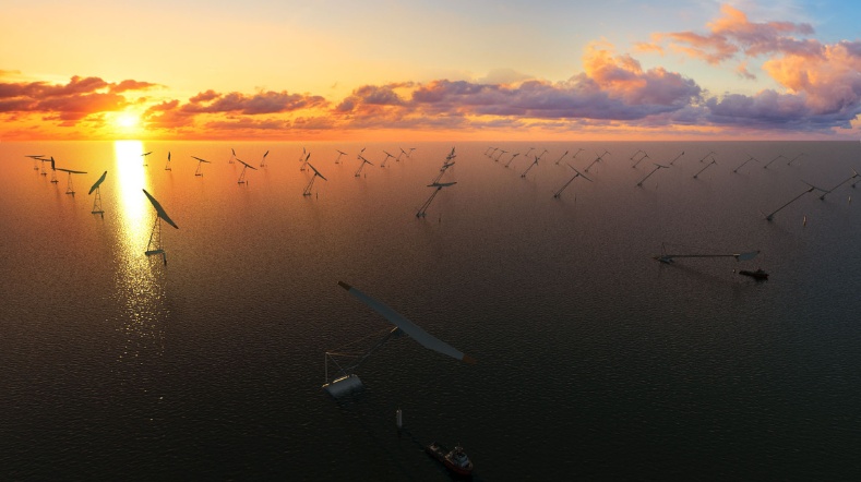
Consortium explores positive wake effects of floating wind turbines
New UWiSE module for efficient offshore wind farm decommissioning
New initiative commits to further strengthen European leadership in wind energy
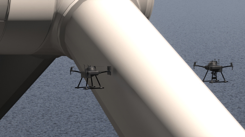
Wind turbine inspections with autonomous drones and digital twin modelling